GEOJSON to PCT Conversion: FAQ
What are GEOJSON files?
GEOJSON is a format for storing geographical data, compatible with several GIS programs. GEOJSON is a specialized version of JSON (Java Script Object Notation), an easy-to-use interchange format containing basic formatting rules for representing data, functioning as an alternative to XML. JSON files can be viewed with any text editor and are generally small-sized.
What are PCT files?
PCT is an image file format associated with Macintosh QuickDraw, a graphics program developed in the 1980s as part of the Apple Macintosh operating system. The initial version of the format, called PICT 1, could store 8 colors, while the later developed PICT 2 supported 24 and 32-bit color images. In recent years, the format has decreased in popularity, being gradually replaced by more versatile formats.
Can reaConverter convert GEOJSON to PCT?
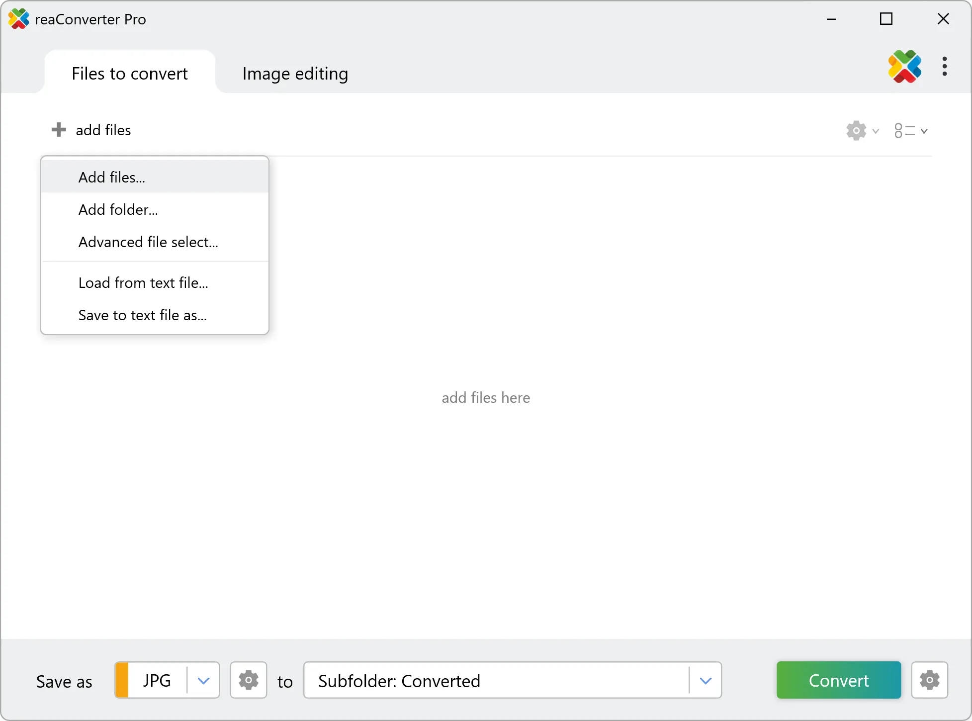
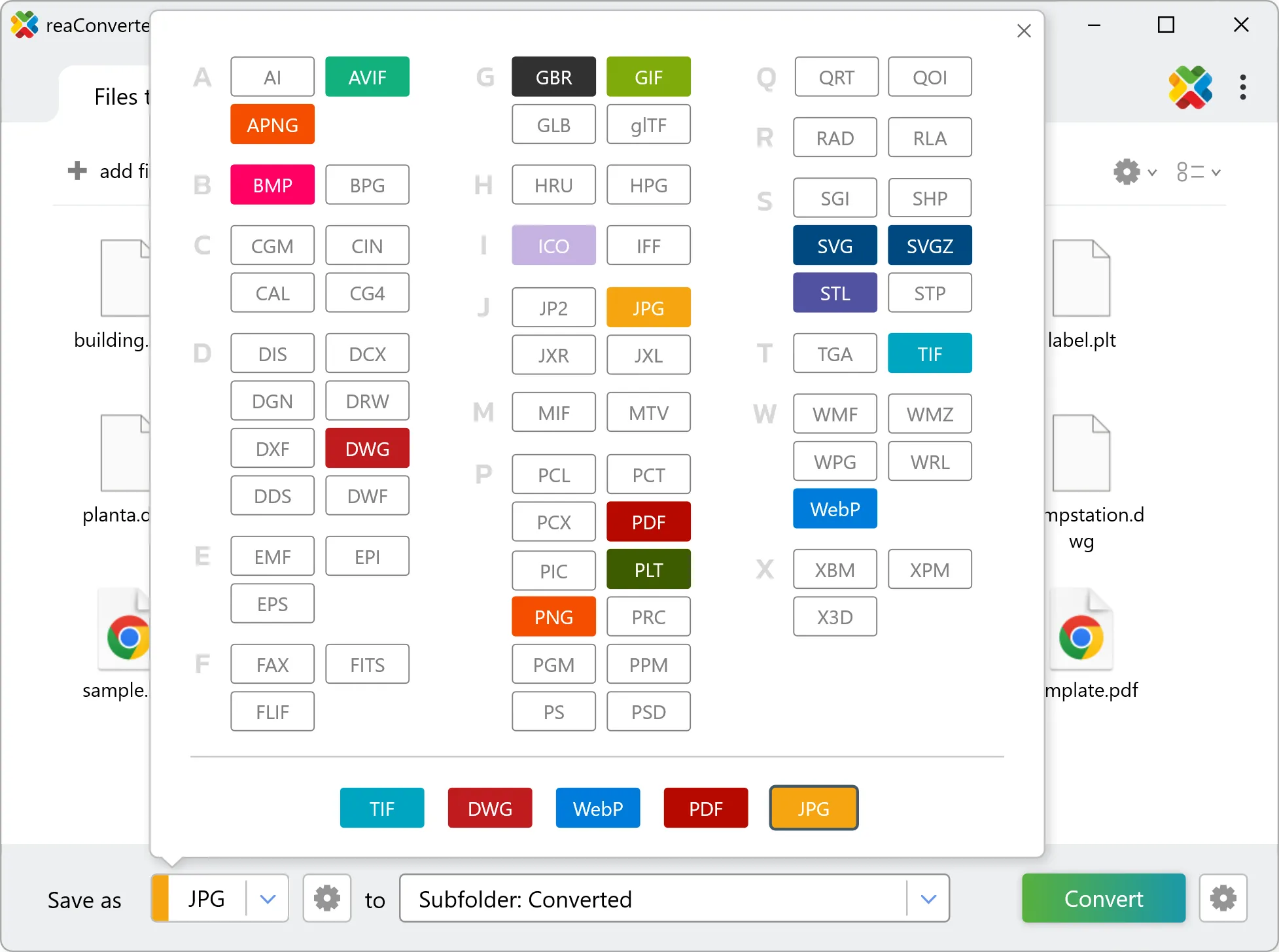
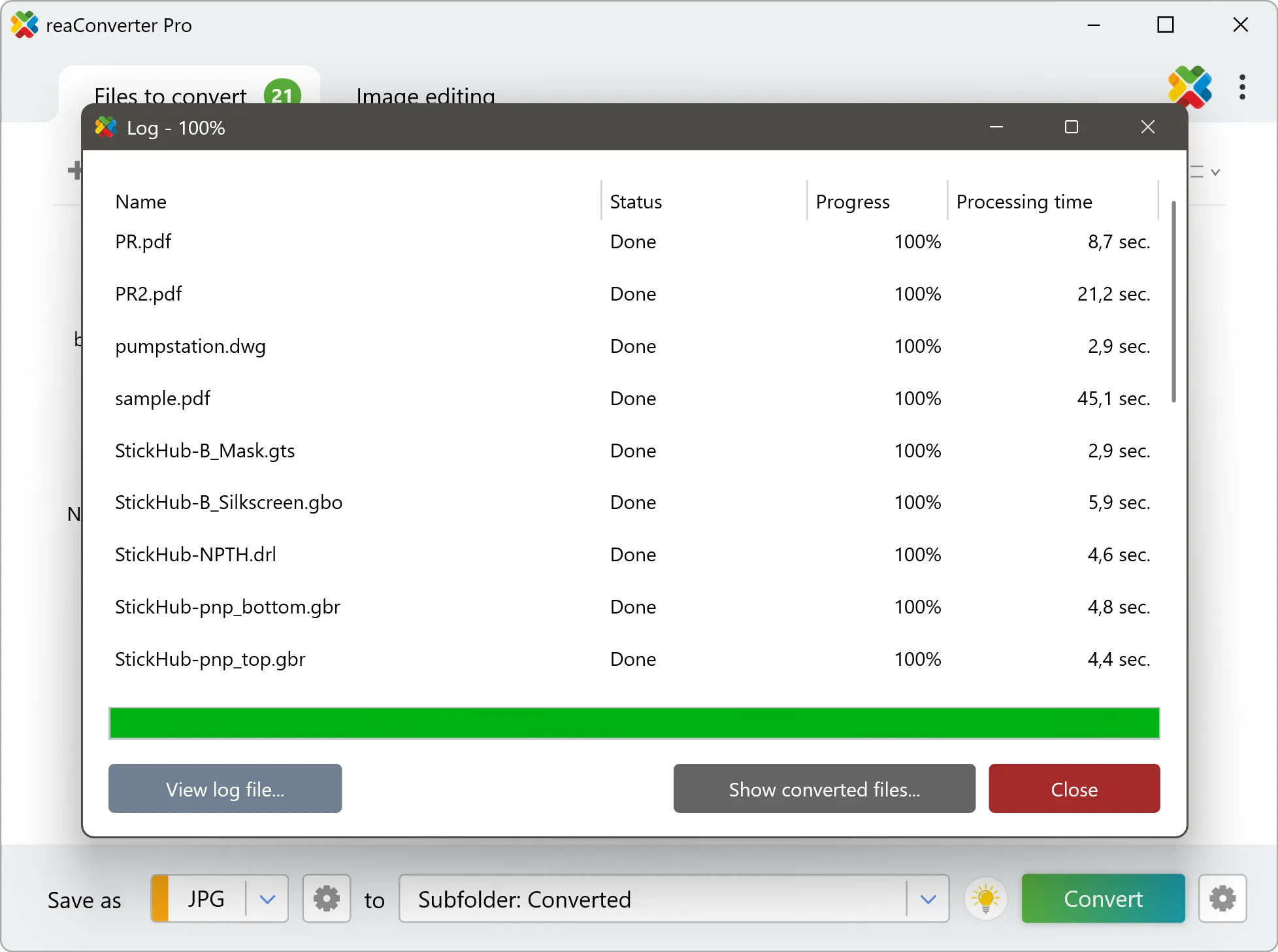
Yes! reaConverter instantly converts .geojson to .pct with perfect quality preservation. With its batch processing feature, you can convert multiple files at once in just a few clicks. You can even convert images directly from Windows Explorer using the right-click menu — fast and convenient.
Can I convert GEOJSON to PCT online?
If you only need to convert a few GEOJSON files to PCT format, feel free to try our free online free online GEOJSON to PCT converter — perfect for small batches with no installation needed!
How can I turn GEOJSON files into PCT on my computer?
The best way to change GEOJSONs to PCTs on your PC is to install a quality piece of software, such as reaConverter. This software is extremely efficient in managing a wide range of batch files conversions, including conversion from GEOJSON to PCT.
How can I automate GEOJSON to PCT files conversion?
reaConverter supports all the most useful automation features such as Right-click сonversion and Watch Folders for the most efficient automated files conversion in any software of this type.
Is there a way to convert GEOJSON files to PCT using the command prompt?
reaConverter provides full access to all its features via Windows command line, including a high-performance command-line geojson to pct converter for batch processing.
What else can I do with reaConverter?
Convert vector filesConvert picture color spaceChange format settingsChange image DPIChange file date